How to Calculate an Aerial Mapping Mission Time with FlightPlanner
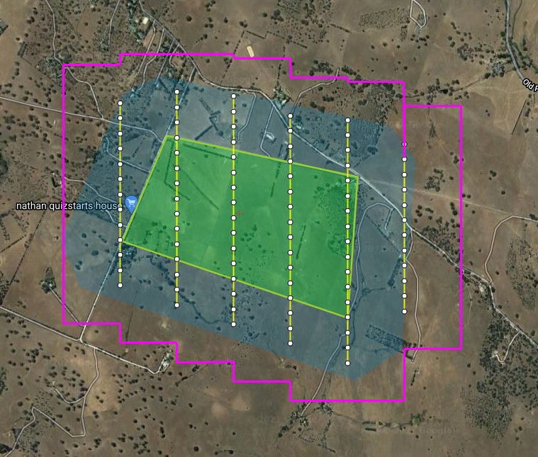
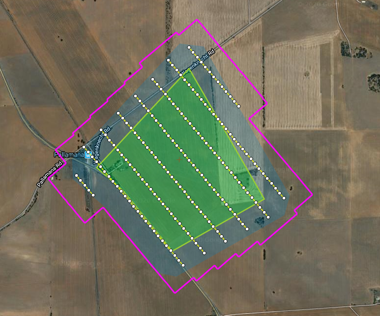
Posted onThis video shows how you can calculate an aerial mapping mission time using the FlightPlanner software. 1. You must first have created your flight plan in FlightPlanner before you can proceed to use the “Calculate Mission Time” tool 2. Click on the “Calculate Mission Time” tool near the top-left hand side of the window 3. […]