
This video shows you how to alter your view of your flight plan. You are able to hide camera stations, stations, capture boundaries, or even add the camera footprint of each camera station, and much more.
Camera Stations/Trigger Points
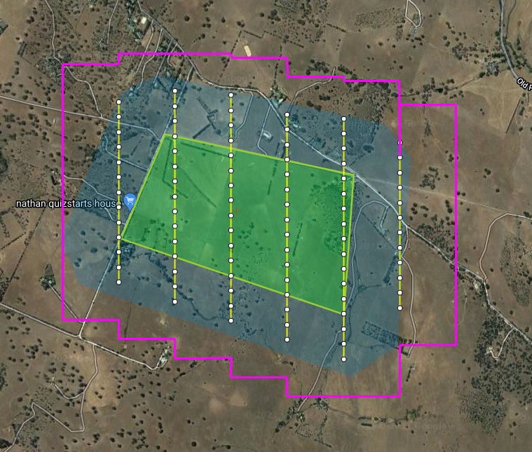
A camera station/trigger points indicate where your camera will take its shots within your flight plan. These camera stations are the white dots you typically see on a flight plan.
Footprints
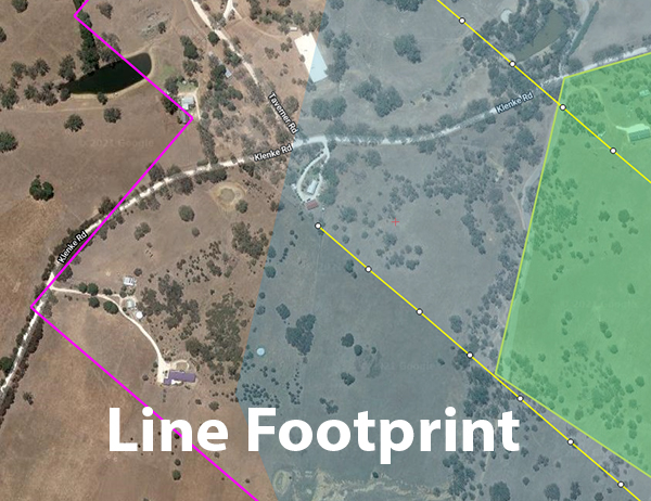
Footprints represent the visual coverage a camera station will have. This is useful to see what camera stations will capture what terrain within your flight plan. Footprints can either be shown as a line footprint or a camera footprint.
Capture Boundary
A purple outline around your flight plan shows the overall coverage your camera will capture during your flight. This visual indicator is useful to ensure you don’t miss capturing anything important.
For a more in-depth article about how to change your aerial survey view options, click here. If you’re interested in our flight planning software, please contact us or request a demo.