
In May 2017 a missing person’s alert was issued for David O’Sullivan. David, from Ireland, had been hiking the Pacific Crest Trail, which stretches from the Mexican border in America up to Canada. David had begun his hike on the 22nd of March, made contact with his family on the 7th of April via email, and has not been heard from since. When David failed to appear at a pre-arranged meeting with a friend in Santa Barbara in May, his family issued a missing persons report. Huge scale search parties were conducted in the area, but no credible sightings were made.
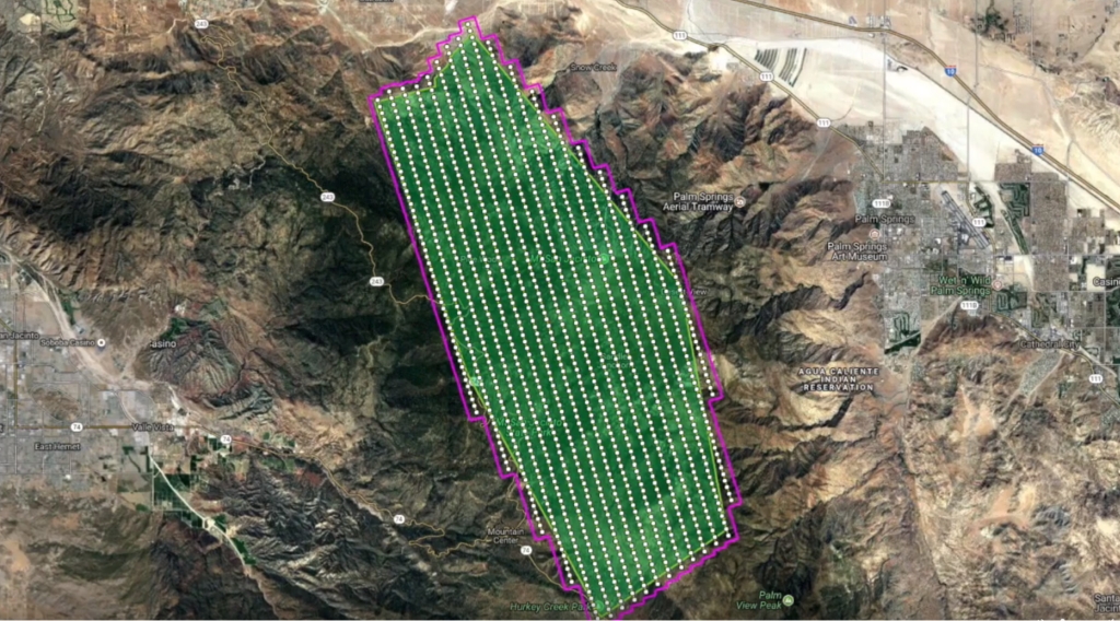
In December 2017, an aerial survey was conducted over Idyllwild, California, where David last made contact with his family. The pilot, Gus Calderon, and mission specialist Richard McCreight overflew 88 square miles of both mountain face and deep desert, taking over a thousand of photographs of the ground below. Volunteers are now analyzing those images in detail, looking for signs of David’s blue backpack.
Gus and Richard used software supplied by AeroScientific to conduct the survey. AeroScientific’s flight planning software (FlightPlanner) and flight management system (Aviatrix) were used to plan the flight runs over Idyllwild, and manage the camera system throughout the flight. The aerial survey successfully acquired 1,235 colour images of the area at 4 inch (10cm) resolution. Watch the video of the survey here.
This story is an excellent example of the range of uses that AeroScientific’s software offers. From suburban and city data collection to large scale searches in isolated areas, AeroScientific’s flight planning and flight management software is provides rich and accurate data, regardless of the environment. We’re excited that Gus and Richard chose our software for this important mission, and we, like everyone else involved in this project, hope for a positive outcome for David’s family.
