Our Aerial Survey Software Products

AeroNikon
A specialised application designed to interface Nikon DSLR cameras with our FMS, Aviatrix.

AeroAlign
A powerful tool for aerial image processing, removes lens distortion and aligns multi-camera images.

AfterFlight
Allows a quick and efficient analysis of aerial imagery, either during or after a survey flight.
How We Help Aerial Surveyors
Aeroscientific: Aerial survey camera control systems for all users
Entry level users
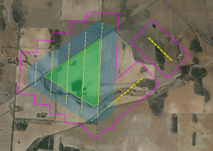
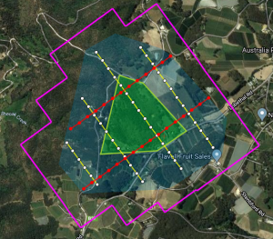
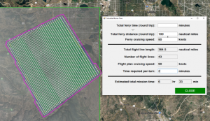
Entry level users typically just want a simple flight management system to control commercial off the shelf cameras. Our STANDARD Aviatrix system caters directly to these users: it includes flight planning and camera control software, and simple hardware to trigger one or two cameras. A simple, cost-effective solution that is robust and reliable.
Advanced users
The ADVANCED Aviatrix package is a high-end solution aimed at professional operators. In this case, we supply more hardware (a ruggedized PC for use in the aircraft, pilot and operator’s screens, hard packing cases, etc.). We also configure the system to work with more advanced GPS/IMUs, more advanced cameras (FLIR, multispectral, etc.), and gyro-stabilized mounts.
Tailor made solutions
Many of our clients use tailor made systems: these are systems that are designed specifically for the unique requirements of the client. Our long experience in developing software and hardware to control aerial sensors means that we are able to design solutions for almost any scenario.


